Key Survey & Mapping Services
Topographic & Boundary Surveys
Platting
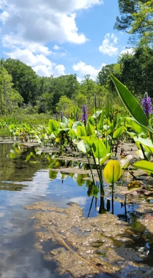
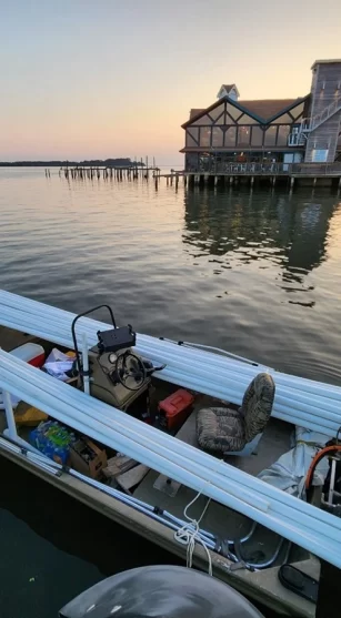
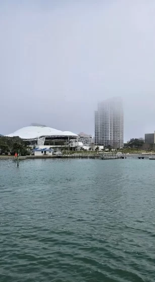
Hydrographic/ Bathymetric Surveys
Geographic Information Systems
Survey & Mapping at GFY
GFY has provided the federal government, the State of Florida, counties, cities, and communities with quality surveying and mapping services since 1919. Today, we are recognized as one of the largest land surveying and mapping firms in the state of Florida, with the resources to undertake virtually any surveying and mapping project – whether for high-rise developments in an urban area, vast rural lands, or bathymetric surveys on waterbodies. With our experience, quantity, and quality of our staff and extensive company-owned specialized equipment – we provide services on thousands of projects each year. GFY has provided survey services in 66 of Florida’s 67 counties.
GFY SURVEY TECHNOLOGY
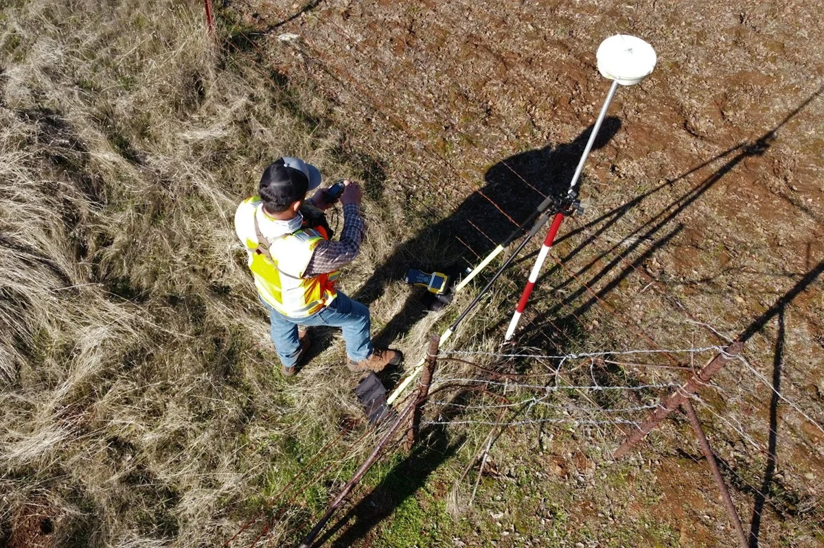
As a leading land surveying company, GFY has prioritized providing and utilizing the latest technology in the survey industry – matched with our expert personnel; we deliver exceptional survey services to our clients. Our team has purchased and successfully integrated 3D laser scanning and drone technology. In previous years GFY was a pioneer in GPS, sonar, Total Station, data collection, data processing, and CAD technology. We continue to upgrade this technology as it is developed, allowing us to stay on the cutting edge with capabilities and efficiencies.
reality capture & digital twin services
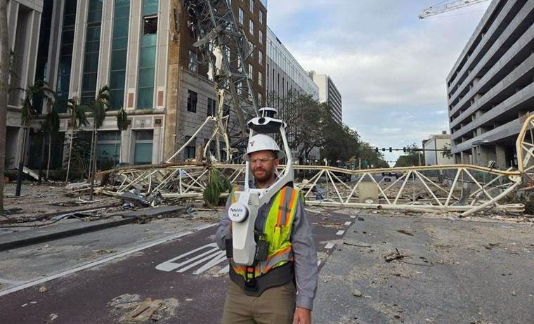
GFY offers cutting-edge indoor and outdoor laser scanning and reality capture services, delivering highly accurate 3D data for a wide range of applications. We use advanced LiDAR and photogrammetry technologies to create detailed digital twins of buildings, infrastructure, and landscapes, enabling precise planning, documentation, analysis, and visualization. Whether for construction, architecture, engineering, or facility management, our comprehensive scanning solutions streamline workflows and provide a reliable digital foundation for decision-making throughout a project’s lifecycle.
All Survey & Mapping Services
- Topographic & Boundary Surveys
- Platting
- ALTA/NSPS Land Title Surveys
- Expert Witness Testimony
- Horizontal & Vertical Control Surveys
- Geodetic Control/Leveling
- Elevation Certificates
- Right-of-Way Surveys
- Mean High-Water Surveys
- Plat Reviews
-
Reality Capture & Digital Twin Services
- Subsurface Utility Locating
- Hydrographic/Bathymetric Surveys
- Construction Stakeout
- Jurisdictional Surveys
- Special Purpose Surveys
- Legal Descriptions
- GLO Retracement Surveys
- Geographic Information Systems (GIS)
Take Action!
GFY | SURVEY & MAPPING CLIENTS
No More Survey Struggles
It is the survey product that we love the most. We always receive professional surveys with all of our requested items included. We always know the survey will be done neatly and clearly, making it the easiest to use of any company I have ever worked with.
Becky Nielsen
Excellent Service & Quality
I have received nothing but excellent service and quality in their responsiveness, work product, and meeting project budgets. Dave and his team are thorough in all they do and consistently follow project schedules. I would highly recommend Dave Deren, now with George F. Young, based on my positive experience for my surveying and mapping needs.

