Project Details
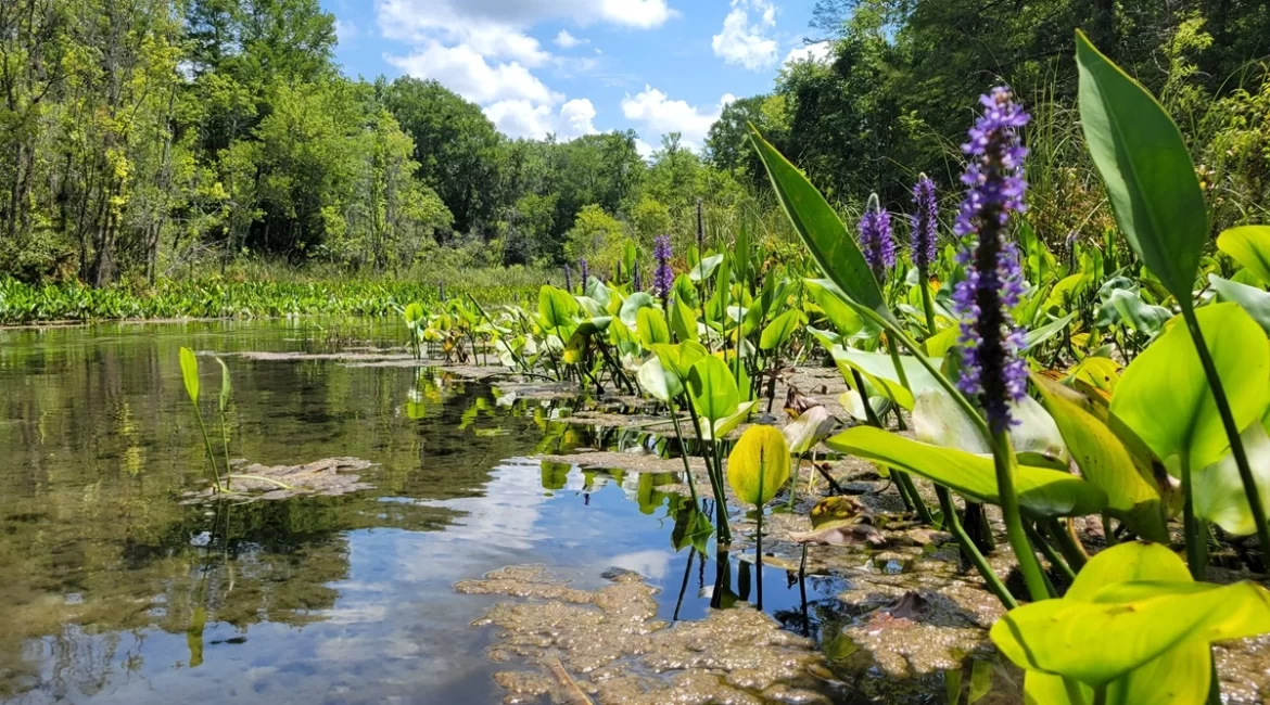
The project required the GFY team to collect bathymetric data using Real Time Kinematic Global Positioning System (RTK GPS) methods along approximately 6000 linear feet of Gum Slough. Cross sections had a nominal 100’ spacing. In addition, data was collected in 24 locations identified as polygons provided by the district. Finally, the location and elevation of 36 Temporary Benchmarks were surveyed.
Professional Services Provided
Survey & Mapping
Clients:
Southwest Florida Water Management District
Location:
Inverness, Florida
Project Type:
Survey & Mapping
Date:
February 16, 2023
Project Manager
Nate Weber, PSM

