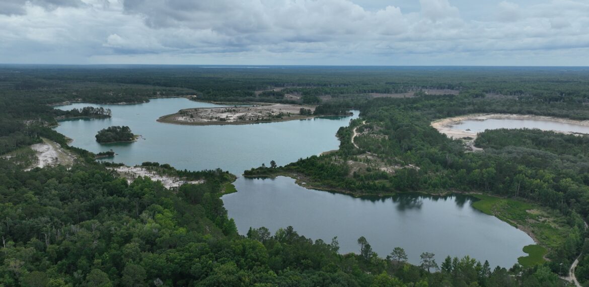
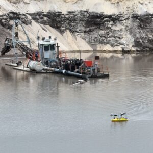
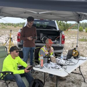
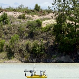
The George F. Young survey team recently completed data acquisition and mapping at a remote, active mining site operated by Edgar Mines in Hawthorne, FL.
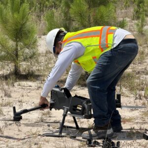
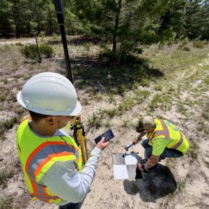
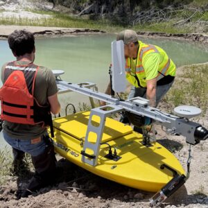
To meet project needs, the team employed an adaptive multibeam bathymetric and LiDAR survey strategy using a compact unmanned surface vessel (USV) and an unmanned aerial vehicle (UAV). Our work prioritized the safe acquisition of bathymetric and LiDAR data in a challenging waterbody environment with steep shorelines, limited launch access, dredging activity, and variable site conditions. This approach produced a flexible survey workflow and deliverables that supported engineering review, dredging quantity analysis, progress monitoring, and documentation of existing site conditions.